Sub4Sub network gives free YouTube subscribers

GIS Analyst Must Know How to Create Point Shapefiles from Latitude and Longitude Data | ArcGIS Pro

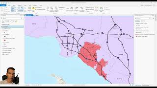
This video details using making a point feature out of latitude and longitude table data ArcGIS Pro.
Thanks for watching! Please like, subscribe, and comment below with any questions.
Table of Contents
00:00 – Intro
00:15 – Checking Table/Creating Header
01:05 – Adding Table within GIS
01:15 – Using XY Table to Point Tool
02:05 – Checking Point Feature
02:38 – Checking Points are in correct location.
03:18 – Outro


Recommended