Gold Prospecting with Lidar

If you are interested in LIDAR for gold prospecting please go to my website: https://theprospectinggeologist.com/
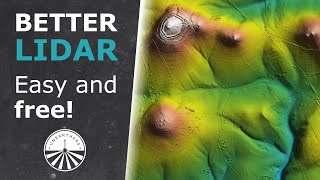
Hey everyone! So this is a longer video that delves into the uses of Lidar maps for gold prospecting. Im using Uwharrie National Forest as a test bed since it is public ground. Lidar is a super useful tool when it comes to gold prospecting and metal detecting.
Basically it can show you a map view of the ground surface as if there was no vegetation. Things like pits, shafts, trenches, tailing piles, old roads, house foundations, open wells, and so much more. Basically if the ground surface has been disturbed you can generally see it with a lidar map.
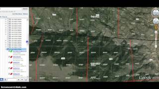
A few notes lidar data is not available everywhere. And while the raw data is available online for free, the use and knowledge of the programs to turn that raw data into something usable takes lots of time and knowledge that is generally not free.
If you are interested in Lidar maps for your area please find me on Facebook at / pgprospecting and shoot me a message there. Im working on website and will revise this section when i have it up and running.
Hope yall enjoy the video and please like, share, and subscribe!