Secret weapon how to promote your YouTube channel

Google Earth Engine Download Satellite Bands and Stack in Qgis. PART 1

IF YOU WANT USE Google Earth Engine you Have to Be a TRUSTED TESTER (like me).
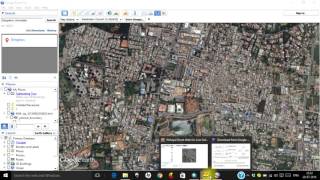
GEE is an amazing database of Satellite Images. In this short video, I show HOW TO:
Download Bands of OLI sensor (Landsat 8).
Build virtual raster in Qgis, and save the result as GeoTIF.
In the second part of this video: The resulting Geotif image will be classified semiautomatically with Ecognition. By Emi. Here the link:
• eCognition Landsat 8 Bands Classifica...


Recommended