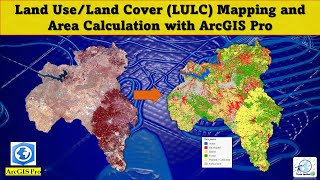
High Resolution Land Cover Land Use Classification S2 for your study Area Using Google earth Engine

In this video, we'll walk through classifying Land Cover Land Use (LULC) on Sentinel2 10 meter high resolution satellite imagery using Google Earth Engine (GEE).
GEE is a powerful platform for Earth observation analysis.
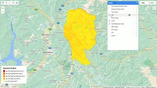
We'll start by loading your Area of Interest (AOI), which is the specific region you want to analyze. This could be a city, a forest, or any area you're interested in.
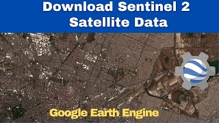
Next, we'll load the Sentinel2 imagery collection from Google Earth Engine. Sentinel2 offers highresolution data with multiple bands, perfect for detailed land cover classification.
We'll then filter the data to focus on the specific time frame relevant to your study. You can also filter for cloud cover to ensure clear images for analysis.
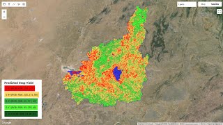
Here comes the exciting part: classification using dynamic data! We'll leverage existing labeled data (think of it as training data) to classify the Sentinel2 imagery. This will allow us to assign specific land cover types (like water, forest, urban areas) to each pixel in the image.
Throughout the video, we'll break down the code stepbystep, making it easy to follow along and replicate the process for your own study area.
By the end, you'll have a classified LULC map visualizing different land cover types across your chosen area. We'll even explore how to export the results for further analysis or visualization in other software.
So, if you're interested in using satellite imagery to understand land cover in your area, this tutorial is for you!