How to Create a Fishnet Grid and Add Center Point Values Using DEM Data | ArcGis

Welcome to our GIS tutorial! In this video, we'll guide you through the process of creating a fishnet grid and adding center point values using Digital Elevation Model (DEM) data. Whether you're a beginner, from this stepbystep tutorial will help you master this essential spatial analysis technique.
In this video, you will learn:
1. Introduction to Fishnet Grid: Understand what a fishnet grid is and its applications in GIS.
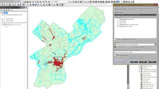
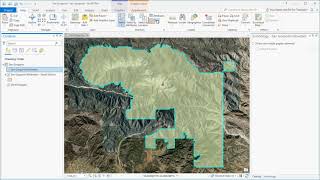
2. Creating the Fishnet Grid: Stepbystep instructions to generate a fishnet grid using GIS software.
3. Setting Up DEM Data Importing and preparing DEM for analysis.
4. Calculating Center Points: How to calculate and extract center point values of fishnet grid.
Tools and Software Used:
GIS Software (ArcGIS)
DEM Data
If you found this video helpful, please give it a thumbs up and subscribe to our channel for more GIS tutorials. Don’t forget to hit the bell icon to get notified when we upload new content!
Thank you for watching, and happy mapping!
#gis #dem #fishnets #spatialanalysis #mapping #geospatialanalysis #DigitalElevationModel