How to get free YouTube subscribers, likes and views?

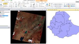
how to do Image Enhancement using Radiometric Correction in Erdas Imagine 14

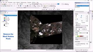
Radiometric correction is done to calibrate the pixel values and/ correct for errors in the values. The process improves the interpretability and quality of remote sensed data. Radiometric calibration and corrections are particularly important when comparing multiple data sets over a period of time.
In order to obtain the real or true ground radiance or reflectance values, radiometric errors must be accounted for.Radiometric corrections are mathematical operations that compensate for various sources of spectral distortion in the data.
#Radiometric_Correction
#Image_Enhancement
#Erdas_Imagine_14
#Landsat_8
#Digital_Image_Processing
#Remote_sensing
#Gis
#How_to


Recommended