how to download bathymetry data | Free GIS Data

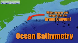
The General Bathymetric Chart of the Oceans (GEBCO) is a comprehensive and collaborative initiative aimed at mapping the ocean floor's topography. It consolidates bathymetric data from various sources, including satellites, ships, and sonar surveys, into a unified and publicly accessible database. GEBCO plays a crucial role in advancing marine sciences, facilitating navigation, and aiding in environmental management. Its highresolution and uptodate datasets provide valuable insights into the Earth's largely unexplored seabed, contributing to a better understanding of oceanic processes and seafloor geology. As a global effort, GEBCO serves as an essential resource for scientists, policymakers, and maritime industries worldwide.
There are two options available to download data:
1Download global coverage grids
2 Download data for userdefined areas
You can download data easily for your study area.
Channel Subscription: https://bit.ly/3wHJlWD
#easylearningwithahsan, #bathymetrydata, #arcgis