YouTube doesn't want you know this subscribers secret

How to Download Imagery on QGIS: Open Topography Satellite Image

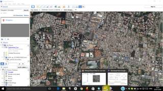
Do you know you can download different type of satellite imagery on QGIS through Open Topography. All you need to do is to watch through this video to guide you through on how to download Imagery on QGIS such as SRTM 30m, NASADEM, ALOS world among others. all you need to do is to register and get your API key. every detail set you need to take has been provided in this video just take your time to watch through and ensure you don't skip any part of the video in other not to miss out on relevant information on how to go about downloading satellite imagery. #satelliteimagery #opentopograpy #QGIS #gistutorial


Recommended