How To Download Landsat 9 Images From USGS Earth Explorer For Free

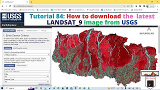
You will learn how to download landsat9 images from USGS for free in this video. I hope this video will help you to enhance your knowledge in GIS and Remote Sensing even more. To assess landcover changes, landuse changes, vegetation changes, and Land Surface Temperature (LST) Landsat images are very essential and this video will help you to download the images for free. Through this video you will easily be able to download Landsat 9 images from USGS Earth Explorer website yourself.
Link: https://landsat.gsfc.nasa.gov/satelli...
Landsat 9 was successfully launched on Monday, Sept. 27, 2021 from Vandenberg Space Force Base in California. Landsat 9 data is publicly available from USGS. Landsat 9 is a partnership between NASA and the U.S. Geological Survey— continues the Landsat program’s critical role in monitoring, understanding and managing the land resources needed to sustain human life. Landsat 9 largely replicates its predecessor Landsat 8. Landsat 9 carries two science instruments. Both instruments have sensors with moderate spatial resolution—15 m (49 ft), 30 m (98 ft), and 100 m (328 ft) depending on spectral band—and the ability to detect a higher range in intensity than Landsat 8 (14bit radiometric resolution vs. Landsat 8’s 12bit radiometric resolution). Landsat 9’s orbit is eight days out of phase with Landsat 8 to increase temporal coverage of observations.
Unprecedented changes in land cover and use are having profound consequences for weather and climate change, ecosystem function and services, carbon cycling and sequestration, resource management, the national and global economy, human health, and society.
Landsat is the only U.S. satellite system designed and operated to repeatedly observe the global land surface at a moderate scale that shows both natural and humaninduced change. The Landsat data series, begun in 1972, is the longest continuous record of changes in Earth’s surface as seen from space and the only satellite system designed and operated to repeatedly observe the global land surface at moderate resolution. Freely available Landsat data provide a unique resource for people who work in agriculture, geology, forestry, regional planning, education, mapping, and global change research.
For more videos related to GIS, Remote Sensing, Geoinformation Science and Climate change please watch videos of @EARTHGISensing. @EARTHGISensing will help you throughout your journey to learn all the tools and techniques of remote sensing and GIS. Please do not forget to like, comment and subscribe to the channel.
#download #satelliteimages #landsat9 #landsatdatafromearthexplorer #remotesensing #landsatimagefromearthexplorer #usgs #landsat #landsatimagesforfree #earthexplorer #satellitedata #free