How to Download Satellite Image Landsat 8 OLI 7 ETM+ 4-5 TM 1-5 MSS

This tutorial will help you how to download high resolution satellite image from USGS Earth Explorer Website and adding these data in ArcGIS
To get from 1972 to 1999, download LANDSAT 45 TM
For those between 19992003, download LANDSAT 7 ETM+
For 2003 to 2012, download images Landsat 7 ETM + SLC OFF will give lining error.
For 2013 to present, download Landsat 8 OLS/TRS images
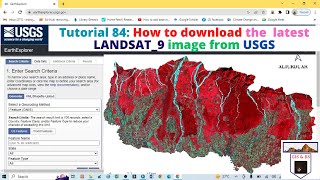
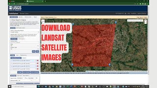
The link of USGS Earth Explorer for Satellite Image Download: https://earthexplorer.usgs.gov/
Related Tags
how to download satellite image from USGS earth explorer
free satellite image download
high resolution satellite image
USGS earth explorer free image
Landsat 8 image free download
Landsat 8 OLS/TRS download from USGS website
Thank you for watching. To get more videos, please subscribe my channel. Thank you.