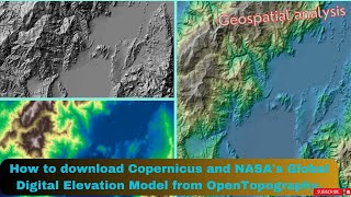
How to download SRTM DEM from Open topography

#PleaseSubscribe, #PleaseShare, #Download_SRTM_DEM,#digitalelevationmodel, #opentopography,#howtodownloadsrtmdemdata
In this tutorial, you will learn how to download SRTM DEM from Open topography web portal with a resolution of 30mx30m .
The type of digital elevation data demonstrated in this tutorial is SRTM, which stands for Shuttle Radar Topography Mission. You can download the following three types of DEM data from Open Topography web portal;
1. USGS 1 arcsecond Digital Elevation Model
2. USGS 1 meter Digital Elevation Model
3. Copernicus Global Digital Elevation Models
4. NASADEM Global Digital Elevation Model
5. Global Bathymetry and Topography at 15 Arc Sec: SRTM15+ V2.1
6. Global MultiResolution Topography (GMRT) Data Synthesis
7. ALOS World 3D 30m
8. Shuttle Radar Topography Mission (SRTM) Global