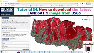
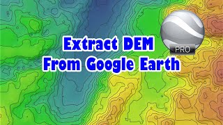
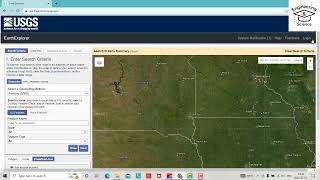
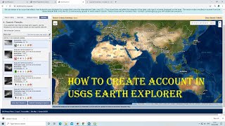
How to download SRTM DEM image from USGS
This video provides a stepbystep procedure for downloading SRTM DEM satellite images. USGS provide free satellite image with four multicolor bands. You can download LANDSAT and SRTM DEM and many more images from USGS.
#usgs
#landsat
#srtm
#degitalevelationmodel
#Software
#GIS
#GIS_Software
#QGIS
Link of Image to image georeferencing: • How to do Image to Image Georeferenci...
Link of Raster image georeferencing: • How to do Georeference a Raster map i...
Link of Raster image digitization: • How to do Digitization with QGIS 2020...
Choropleth Map Preparation using QGIS 2020: • How to prepare a Choropleth Map Prepa...
NDVI Calculation: • How to do NDVI Calculation in QGIS II...
Follow the Link for more videos:
• Video
• How to Geo Referencing of Topographic...
• How to create Thiessen Polygons in QG...
• How to merge overlapped Landsat Band...
• How to Create River and City Points M...
• How to Create Multiple Buffer Zone in...
• Change Detection Analysis of Land use...
• Change Detection Analysis of Land use...
• How to download Land use and Land cov...
• Accuracy assessment of Landuse and La...
• How to download District River, Road,...
• How to download World Shape file and ...
• How to create 3D Model of DEM image u...
• Land Use Land Cover Map of Landsat 8 ...
• How to create DEM from Google Earth I...
• How to create DEM (Elevation Map) an...
• How to create Contour line and DEM (E...
Contact: [email protected]