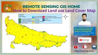
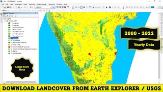
How to Download the Latest Land Use Land Cover (LULC) Data

This GIS Tutorial is about How to Download the Latest Land Use Land Cover Data !!
In this video, I have shown you the sources and steps to extract Landuse and Landcover (LULC)
Queries:
How to Download Global Land Cover
Tutorial to download globcover (ESA) Land Cover images
Land cover mapping by ArcGIS
Related links:
#ESA website
http://due.esrin.esa.int/page_globcov...
Other links:
#How to calculate LS FACTOR for USLE/RUSLE in ArcMap
• How to calculate LS FACTOR for USLE/R...
#How to Calculate the landuse/landcover surface in ArcMap
• How to Calculate the landuse/landcove...
#Water Stream/Drainage Line Extraction From DEM in ArcMap
• How to extract River shape from DEM I...
#Kriging vs Inverse distance weighted (IDW)
• Kriging vs Inverse distance weighted ...
#ArcGis: How to make a Geostatistical Analysis in ArcMap
• Kriging vs Inverse distance weighted ...
#How to Make a Map in ArcMap/ArcGis
• How to Make a Map in ArcMap/ArcGis
#ArcGis: Watershed/Basin Delineation in ArcMap using ArcHydro tools and DEM
• ArcGis: Watershed/Basin Delineation i...
#Envi: Soil Classification and Validation with Confusion matrix
/ jaswe0g4r
#Radiometric and Atmospheric Correction in Envi
• Radiometric and Atmospheric Correcti...
#ArcGis: How to Georeference a Degital Elevation Model automatically in ArcMap
• How to Georeference a Degital Elevat...
Facebook : / educpsy100872484841434
Instagram : / educpsy