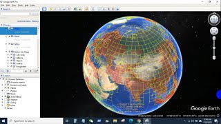
How to Download Topographic Maps using Google Earth Pro

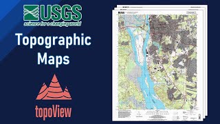
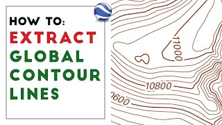
Topographic maps are a detailed record of a land area, giving geographic positions and elevations for both natural and manmade features. They show the shape of the land the mountains, valleys, and plains through brown contour lines (lines of equal elevation above sea level). It helps in achieving an indepth and accurate picture of the building, land, and other structures of the land. For geographical experts, topography mapping can help in showing the terrain and forms of the earth's surface orientation and monuments along with terrestrial phenomena.
_____________________________________________
Direct Link to download KML file: (Used in the video)
✅ https://www.lib.utexas.edu/maps/topo/...
____________________________________________
✅ in this video we show you how to simply download & use topographic Maps.
if there are other ways to download topographic maps, Comment on them. _____________________________________________
Check it out:
Subscribe to our channel and Like the video:
✅ / @rsgis6997
_ _ _ _ _ _ _ _ _ _ _ _ _ _ _ _ _ _ _ _ _ _
Share the video with others:
✅ • Video
=========================================================
#gis #gistutorial #remotesensing #rsandgis #googleearth #TopographicMap