A little secret to rock your YouTube subscribers

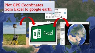
How to Draw Polygons or Locate Land Using GPS Coordinates

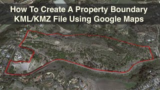
This simple video shows how to draw polygons or locate land in Google Maps using GPS coordinates. Once a polygon or a land is drawn, its area and perimeter are automatically calculated. The map thereafter can be marked, saved, printed or sent to others.


Recommended