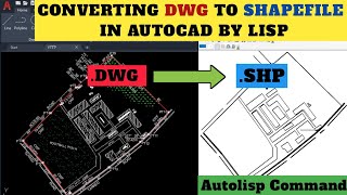
How to Export Survey Data in AutoCAD Format From GNSS RTK logger || Tersus

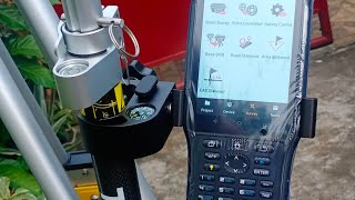
The Tersus Gnss receivers data logger can efficiently export survey data directly in #autocad .dxf #dwg format for analyzing, plotting and processing in different CAD softwares.
Here in this easy guide tutorial you will learn on how to export survey data directly to AutoCad for plotting without running script!
Join me on Social media
Public Facebook Group: https://www.facebook.com/profile.php?...
LinkedIn: https://www.linkedin.com/in/victornw...
Email: [email protected]
Other relevant Tutorial below
• HOW TO SET UNITS IN AUTOCAD || #autoc...
• HOW TO IMPORT POINTS FROM EXCEL TO AU...
• How to import Coordinates from Excel ...
• How to plot and label boundary line o...
Do well to subscribe to this channel for More AutoCad and GNSS tips and Guides freely!
#autocadtraining #gnssrtk
#surveying #surveyor