How to georeference an image in ArcMap and Pro

Georeferencing is the process of taking map images in formats like png, tiff or jpegs and correctly locating them in a map document. This tutorial takes you through the steps involved in both ArcMap and ArcGIS Pro.
Color Scan is an extension to ArcMap that has tools to create GIS layers from georeferenced map images. Download a 30 day free trial here: https://www.spatialmonkey.com/trial/
The GIS layer and images used in the video can be found here:
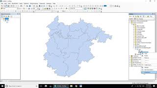
California State Boundary Shapefile courtesy of the U.S. Geological Survey
Credit: U.S. Geological Survey
Department of the Interior/USGS
https://catalog.data.gov/dataset/usgs...
Growth in California’s Solar Market Map courtesy of the Institute for Local SelfReliance
https://ilsr.org/visualizingcalifbo... Copyright (CC BYND 2.0)
Rumford, ME Historical Map (ID: TME0472) courtesy of the U.S. Geological Survey
Credit: U.S. Geological Survey
Department of the Interior/USGS
https://store.usgs.gov/product/63846