Sub4Sub network gives free YouTube subscribers

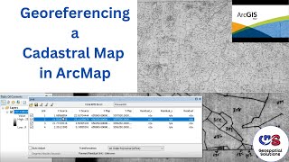
How to Georeferencing cadastral map in Q GIS

Georeferencing cadastral map using Google Earth and Q GIS. Cadastral Maps are large scale maps which denotes the ownership of the land units, the scale ranges from 1:2500 to 1:10,000. The paper cadastral maps has to scanned prior to georeference or Digitize.
Requirement
Scanned Cadastral Map, Q GIS, Google Earth.


Recommended