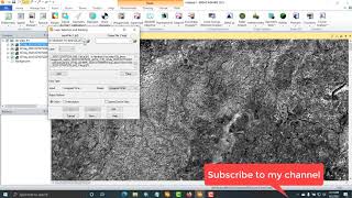
How to Import/Export image in Erdas Imagine Software Easy Method

Welcome to Best GIS Tutorials.
Best GIS Tutorials is platform to help those people who want to develoop their Skill we provide all the basics of Geographic information System From Beginner to Advance level such is how to georeference a map, how to digitize a map, how to download google earth image, how to download Satellite image for research, use of merge tool, how to make study area map, how to make layout for map. these are the some of basic and the main topics that we will provide in the form of tutorial videos and as well lecture in pdf form. Best GIS Tutorials is providing free opportunity to every students to learn and equipt will skills for a bright future.
Subscribe Best GIS Tutorials to understand Geographic Information System in simple way.
keep in touch with us.
=========================================
~~~~~~~~~ Subscribe our Channel~~~~~~~~~
Learn more with us, subscribe Best GIS tutorials
How to connect Study area with Google Earth In Erdas / how to Inquire study area in Erdas Software
• How to connect Study area with Google...
How to launch or load or add Image to Erdas Software/ Introduction to Erdas imagine software 2014
• How to launch or load or add Image to...
How to Mosaic Images in Erdas Imagine Software Easy Method
• How to Mosaic Images in Erdas Imagine...
How to spatial analysis in GIS part 2/Lab 4, Data Management of Ownterio (steps)
• How to spatial analysis in GIS part 2...
How To Do Spatial Analysis in GIS 10.5
• How to do Spatial analysis In ArcGIS ...
How to check the difference in Landuse Between classified image of 2008 and 2018
• How to check the difference in Landus...
Subset of an image to the extant of study area in erdas imagine part 1
• Study Area Extract in Erdas Software/...
Subset of an image of study area in Erdas part 2
• Extraction of Study Area/ Subset of a...
Subset of an image to the extent of area in erdas Part 3
• Subset of an image to the extent of s...
How to georeference a map in mapinfo software
• How to Georeference a Map in Mapinfo ...
How to make polygon map using polyline
• How to Make Polygon Map From Polyline...
How to Calculate NDVI from landset8 image in GIS
• NDVI (Normalized Differential Vegetat...
How to extract study area map from satellite image for research
• How to extract Study Area Map in GIS ...
how to show DEM in 3D view
• How To Show DEM In 3D View Easy Method
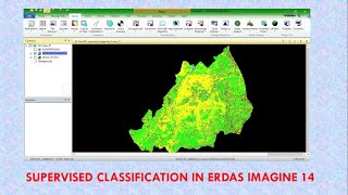
Supervised Classification in GIS
• Landuse Classification/Supervised Ima...
ILWIS Chapter 5 part 1
• ILWIS CHAPTER 5 PART 1
ILWIS Chapter 5 part 2
• ilwis chapter 5 part 2