How to Know Coordinated system of my area

Sometimes we need to project of DEM file. But we usually forget what is our zone?
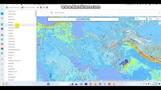
See the video and refer to text below used in the video
WGS 1984 UTM Zone 42N: This designation refers to the Universal Transverse Mercator (UTM) coordinate system using the WGS 1984 datum, specifically Zone 42N. In this system:
"WGS 1984" indicates the datum used, which is the World Geodetic System 1984.
"UTM" stands for Universal Transverse Mercator, which is a projected coordinate system.
"Zone 42N" specifies the UTM zone in the northern hemisphere, covering a longitudinal range from 42°E to 48°E.
42T or 43T: These designations also refer to UTM zones but may cover different longitudinal ranges and belong to different bands.
"42T" would represent the UTM zone covering a longitudinal range from 42°E to 48°E and a latitudinal range from 36°N to 44°N.
"43T" would represent the adjacent UTM zone covering a longitudinal range from 48°E to 54°E and the same latitudinal range from 36°N to 44°N.


![The moment we stopped understanding AI [AlexNet]](https://i.ytimg.com/vi/UZDiGooFs54/mqdefault.jpg)