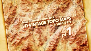
How to Make this Vintage Map Poster of Yellowstone

A starttofinish assembly of a vintage hillshade image, warped onto geography, colorized and blended with modern satellite imagery. You'll see it all, I skipped nothing of the process. Grab some popcorn, don your map nerd hat, and settle in for some obviouslyMidwesternaccented map making fun.
Here are some resources and background...
Source hillshade image:
http://www.shadedreliefarchive.com/Ye...
Bill van Allmen:
http://www.reliefshading.com/cartogra...
ArcGIS Pro (the map tool I used):
https://pro.arcgis.com/en/proapp/
My stuff...
Adventures In Mapping map nerd blog:
https://adventuresinmapping.com
More tecy howto blog for map nerds:
https://www.esri.com/arcgisblog/auth...
Twitter:
/ john_m_nelson
Instagram:
/ johnmnelson