A little secret to rock your YouTube subscribers

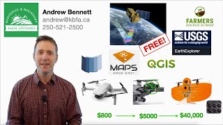
How to measure canopy height and volume using QGIS (Drones in Agriculture series 6/7)

1:42 Determining canopy elevation (with canopyspecific digital surface models)
3:26 Determining soil elevation (soilspecific digital surface models)
4:45 Extracting elevation information (writing to attribute table)
7:33 Canopy area extraction
9:16 Calculating height and volume based on canopy/soil elevation and area
13:27 Checking results
16:39 Vegetation index summary statistics and comparisons
If you found these methods useful, please consider citing our recent paper in the journal Remote Sensing:
Parker, T. A., Palkovic, A., & Gepts, P. (2020). Determining the Genetic Control of Common Bean EarlyGrowth Rate Using Unmanned Aerial Vehicles. Remote Sensing, 12(11), 1748.


Recommended