Grow your YouTube channel like a PRO with a free tool

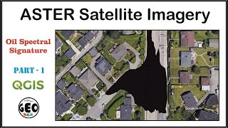
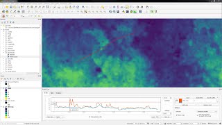
How to open ASTER satellite image in QGIS and perform DOS1 atmospheric correction

ASTER *.hdf file is difficult to directly open in QGIS, so I am showing you the quick way to do it. Also, you will see how to do DOS1 atmospheric correction.
You can learn much more on water resources, remote sensing, remediation on our web site https://www.advancedgwt.com/onlinetr...


Recommended