YouTube magic that brings views, likes and suibscribers

How to Perform Spatial Queries Using ArcMap

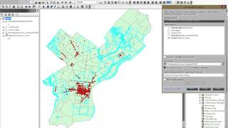
In this tutorial video, you will learn the process of performing spatial queries using ArcMap. You will learn how to filter features from a layer using a spatial query.
The spatial query is a process of selecting a subset of features or records from a layer or table based on attribute values and spatial relationships. It allows you to filter data and focus only on the information that you need for your analysis. It is the process of asking and answering questions about geographic features based on their attribute values and spatial relationships.


Recommended