How to Reproject DEM Tiles/Raster files in QGIS

In this video, I demonstrate the systematic approach to reproject your raster file into a new coordinate system. It is an easy stepbystep that can be done.
Share with me your questions, comments etc and SUBSCRIBE to my channel for more educative videos: / @strengthoverweakness770
Check out my other videos:
1. Extract Point Attributes from Multiple Raster Files in ArcGIS: • Extract Point Attributes from Multipl...
2. Clipping Shapefile Boundary Layers from Raster files in ArcGIS: • Clipping Shapefile Boundary Layers fr...
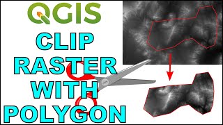
3. How to Clip(Subset) Raster File in QGIS: • How to Clip(Subset) Raster File in QGIS
4. How to Merge (Mosaic) DEM Tiles in QGIS: • How to Merge (Mosaic) DEM Tiles in QGIS
5. Joining Attribute Tables in QGIS || Simple steps to editing your attribute table: • Joining Attribute Tables in QGIS || S...
6. Importing Excel Table into QGIS • Covert it into GIS Format: • Importing Excel Table into QGIS • Cov...