Buy real YouTube subscribers. Best price and warranty.

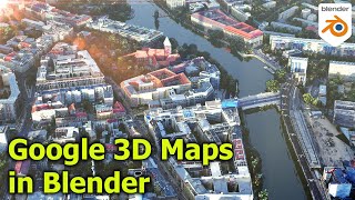
How to use BlenderGIS for Population Density 3D Maps

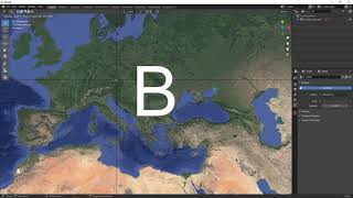
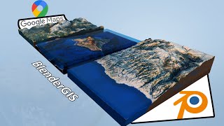
Architects rely on GIS to visualize, analyze, and interpret spatial data at the scale of cities or territories, which is especially useful for urban design. In this video, we'll produce a 3D population Density Map with the free and opensource addon BlenderGIS for Blender.
GIS data can be found on official Geodata websites such as geoportail.gouv.fr for France : it always contains interesting metadata, like the amount of people living on a specific territory. Let's take a look at how to visualize it in 2D in the opensource mapping software QGIS, and then at how to transform it into 3D in Blender using BlenderGIS.
Link to download BlenderGIS : https://github.com/domlysz/BlenderGIS


Recommended