How to use Geospatial Data in SQL Server by Hasan Savran || SQL Server Virtual Conference

If you are interested in learning more about Spatial Data but don’t know where to start, this session is for you. We will begin by focusing on what Spatial Data is through examples and interactive demos. The goal is to show how Spatial Data can improve your professional experience and serve as an asset to your business.
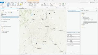
I will introduce you to Spatial Data in the SQL server and show you how to import data into SQL Server. We will focus on demonstrations of the SQL Server 2016 and JSON functions used to create geoJSON objects from Spatial Data. Next, we will cache these objects by using InMemory tables with the help of SQL Server 2017.
Please join me as we explore how to use SQL server to handle your Geospatial data needs.
About Speaker:
Hasan Savran is Microsoft Data Platform MVP and Microsoft Certified Solutions Developer. He works at Progressive Insurance as a Business Intelligence Architect. He spends his days architecting cutting edge business solutions by using the latest Web and Database technologies.
Hasan has spoken at many SQL Saturdays, Code Camps, and User groups. He is an active member of the HTML5 and WebAssembly W3C groups. He likes to write about SQL, CosmosDB, C#, and Front End development on his blog.
Conference Website: https://www.2020twenty.net/sqlserver...
C# Corner Community of Software and Data Developers
https://www.csharpcorner.com
#SQL #geospatial #data #azure #conference #sqlserver