Learn how to get Free YouTube subscribers, views and likes

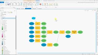
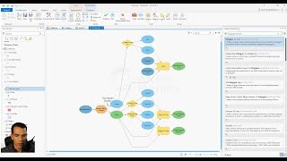
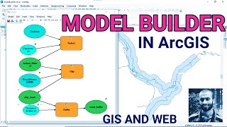
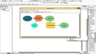
How to Use ModelBuilder in ArcGIS to Automate Geoprocessing

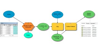
First video in a series on how to use ModelBuilder in ArcGIS 10.3 to automate geoprocessing tasks. In this video we create a new model within a geodatabase, set the environment settings, import a CSV file of Boston 311 data into the geodatabase, and plot the locations of those events using coordinates wihtin the table.


Recommended