Secret weapon how to promote your YouTube channel

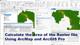
Imagery and Raster Data in ArcGIS - An Introduction

In this overview of how to use and manage imagery and raster data in ArcGIS, we show you how and why to use imagery in your maps. Get a walkthrough of sources of imagery, the ArcGIS Imagery Information Model, and applications of imagery in ArcGIS. This presentation from the Esri User Conference also provides detailed information and definitions of raster terminology.
Learn more about managing imagery and raster data in ArcGIS Pro, the latest Esri GIS technology: http://pro.arcgis.com/en/proapp/help...


Recommended