Introduction to GIS Analysis with GeoPandas using Python

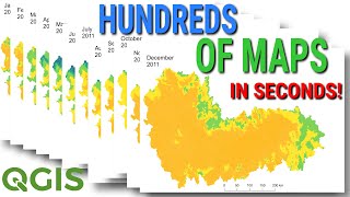
Introduction to geospatial analysis using the GeoPandas library of Python. In this tutorial you will learn how to import Shapefiles, visualize and plot, perform basic geoprocessing tasks and save the geodataframe as an ESRI shapefile.
Download the exercise files https://drive.google.com/open?id=1XA2...
Matplotlib Colormaps https://matplotlib.org/users/colormap...
How to install GeoPandas (quick and easy) • How to Install Python GeoPandas Eas...
Tutorial on how to install Python and Configure Pandas (and Spyder IDE) • How to Install Pandas (and Python) us...
References https://www.divagis.org/ (For downloading shapefiles)
⭐NOTE:
‘Kite’ is an excellent tool that can help you boost your productivity when it comes to programming with its free Artificial Intelligence (AI) powered coding assistant. Kite is a plugin which provides smart completions and documentation as you’re typingin your code, and its compatible with most of the wellknown IDEs such as PyCharm, Spyder and VS Code. I absolutely love it, and recommend you guys to try it out as well.
https://www.kite.com/getkite/?utm_me...