Sub4Sub network gives free YouTube subscribers

Landsat 9 Image Display with QGIS

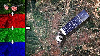
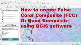
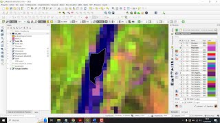
Download Landsat 9 images and display them in QGIS with true color and false color composite band combinations.
Remote Sensing with QGIS (full course): https://geospatialschool.com/courses/...
Stepbystep instructions: https://opensourceoptions.com/blog/ho...

![Obtaining + Loading Landsat Imagery in QGIS (lab 2 V1) [SEE UPDATES BELOW!!]](https://i.ytimg.com/vi/mBk2VIMawRE/mqdefault.jpg)


Recommended