It was never so easy to get YouTube subscribers

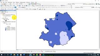
Landuse classification of Sentinel 2A L-8 u0026 L-7 image in ArcGIS | A complete guide on LULC
In this video we tried to provide a complete guide on Supervised landuse classification with ArcGIS .
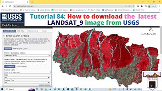
Here we included : How to download satellite image
How can we use google map as a reference map
then how to identify different objects accurateltely
Finally we showed how to classify Sentinel 2A image and compared other
Landsat images


Recommended