Get real, active and permanent YouTube subscribers

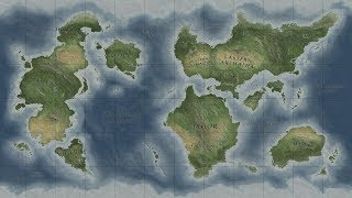
Live Map Breakdown #2: Ecological Atlas Basemaps

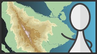
Another live breakdown of one of my previous maps. This time, we'll talk about the basemap(s) that I constructed for the Ecological Atlas of the Bering Chukchi and Beaufort Seas: http://ak.audubon.org/conservation/ec...
This gives us a chance to spend some time looking at terrain and bathymetry in Photoshop, as well as briefly look at working with a few layers in Illustrator.


Recommended