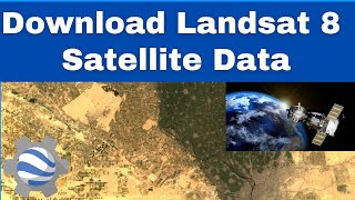
Loading Landsat 8 data into Google Earth Engine

GEE is a pretty amazing resource for viewing and analysing massive amounts of earth observation data. But you need to be able to code a little javascript to get started... Here's something to get you going with Landsat 8 imagery. The code that I use in the video is below. Let me know in the comments how you go with it?
// Let’s define the image collection we are working with by writing this command.
// We are creating a new variable 'image' that will come from the L8 collection we have imported
var image = ee.Image(L8
// We will then include a filter to get only images in the date range we are interested in
.filterDate("20190701", "20211030")
// Next we include a geographic filter to narrow the search to images at the location of our ROI point
.filterBounds(ROI)
// Next we will also sort the collection by a metadata property, in our case cloud cover is a very useful one
.sort("CLOUD_COVER")
// Now lets select the first image out of this collection i.e. the most cloud free image in the date range
.first());
// And let's print the image to the console.
print("A L8 scene:", image);
// Define visualization parameters in a JavaScript dictionary for true colour rendering.
// Bands 4,3, and 2 are needed for RGB (true colour composite).
var trueColour = {
bands: ["B4", "B3", "B2"],
min: 5000,
max: 12000
};
// Centre the scene to the ROI
Map.centerObject(ROI, 12);
// Add the image to the map, using the visualization parameters.
Map.addLayer(image, trueColour, "truecolour image");