Easy way to get 15 free YouTube views, likes and subscribers

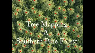
Masking/filtering soil pixels from drone imagery in QGIS (Drones in agriculture series 4/7)

To determine health and size of plant canopies, it is important to remove soil values. This video covers how to eliminate soil pixels from drone data, so they do not influence vegetation indices and other data.
If you found these methods useful, please consider citing our recent paper in the journal Remote Sensing:
Parker, T. A., Palkovic, A., & Gepts, P. (2020). Determining the Genetic Control of Common Bean EarlyGrowth Rate Using Unmanned Aerial Vehicles. Remote Sensing, 12(11), 1748.


Recommended