Grow your YouTube views, likes and subscribers for free

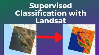
NASA ARSET: Land Cover Classification and Accuracy Assessment in Google Earth Engine Part 2/3

Using Google Earth Engine for Land Monitoring Applications
Part 2: Land Cover Classification and Accuracy Assessment in Google Earth Engine
Land Cover Classification and Accuracy Assessment Overview
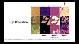
Landsat Data Retrieval and Imagery Preparation
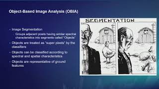
Supervised Land Cover Classification
Accuracy Assessment of Land Classifications
Question and Answer Session
You can access all training materials from this webinar series on the training webpage:
https://appliedsciences.nasa.gov/join...
This training was created by NASA's Applied Remote Sensing Training Program (ARSET). ARSET is a part of NASA's Applied Science's Capacity Building Program. Learn more about ARSET: appliedsciences.nasa.gov/arset


Recommended