Sub4Sub network gives free YouTube subscribers

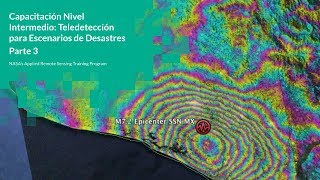
NASA ARSET: Landslides Part 2/3

Disaster Assessment Using Synthetic Aperture Radar
Part 2: Landslides
Trainer: Eric Fielding (JPL)
Mapping the motion of the Portuguese Bend Landslide on the Palos Verdes peninsula in California through InSAR using Sentinel1 geocoded unwrapped (GUNW) products with ARIAtools and MintPy.
Q&A
You can access all training materials from this webinar series on the training webpage: https://appliedsciences.nasa.gov/join...
This training was created by NASA's Applied Remote Sensing Training Program (ARSET). ARSET is a part of NASA's Applied Science's Capacity Building Program. Learn more about ARSET: https://appliedsciences.nasa.gov/what...


Recommended


