NASA ARSET: Overview of the Global Wildfire Information System (GWIS) Part 2/2

Techniques for Wildfire Detection and Monitoring: Advanced Webinar
Part Two: Overview of the Global Wildfire Information System (GWIS)
This session will provide an overview of the Global Wildfire Information System (GWIS) and a handson demonstration on the use of the GWIS viewer.
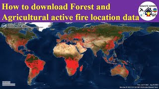
GWIS is an online web application that uses remotely sensed wildfire data. This data includes fire danger, wildfire locations, burned area extent, and burn severity. GWIS also focuses on sharing data and operational plans between researchers, managers, and agencies. Demonstrations and tools will introduce participants to applications of the GWIS tool, including identifying active fire from MODIS and VIIRS data, evaluating burned areas with MODIS data, and assessing fire emissions such as black carbon and particulate matter.
You can access all training materials from this webinar series on the training webpage: https://appliedsciences.nasa.gov/join...
This training was created by NASA's Applied Remote Sensing Training Program (ARSET) in collaboration with USGS. ARSET is a part of NASA's Applied Science's Capacity Building Program. Learn more about ARSET: appliedsciences.nasa.gov/arset