Sub4Sub network gives free YouTube subscribers

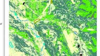
National Elevation Dataset and Hillshade Rasters
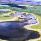
Processing elevation rasters...mosaicing, projecting, clipping,and creating a hillshade for use in topographic sharpening of remotely sensed imagery.


![The moment we stopped understanding AI [AlexNet]](https://i.ytimg.com/vi/UZDiGooFs54/mqdefault.jpg)

Recommended