15 YouTube views, likes subscribers in 10 minutes. Free!

OpenTopography Tutorial: Using the Potree Point Cloud Viewer
Display and interact with point clouds using the Potree viewer available in OpenTopography. This treasure hunt activity guides participants through Potree tools to display and make measurements on four preprocessed datasets.
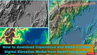
OpenTopography facilitates community access to highresolution, Earth scienceoriented, topography data, and related tools and resources | https://opentopography.org/


Recommended