YouTube magic that brings views, likes and suibscribers

Ortho Mapping and DSM generation in ArcGIS Pro: Processing Drone Imagery

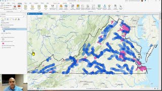
This video showcases one of the many ortho mapping workflows supported in ArcGIS Pro—how to process drone imagery. See how to create an ortho mapping workspace, block adjust a collection of drone imagery, generate ortho mapping products (an orthomosaic and a DSM).


Recommended