How to get free YouTube subscribers, likes and views?

Overlay Analysis using ArcGIS Desktop

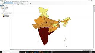
This video about the overlay analysis using shapefile, which is having different weightage and Ranking based on the specific criteria. For the demo purpose, I have used only two layers. Normally this method is used in many Geospatial Applications, viz., Ground Water Prospect Mapping, Solid Waste Management, Ground Water Potential Pollution Map, Drastic Index, Curve Number Analysis, Soil Erosion, etc using Remote Sensing and GIS. Please share your views. Any further updates/modifications are welcome.


Recommended