Free views, likes and subscribers at YouTube. Now!

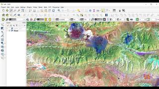
Pan Sharpening in QGIS

In this video, we will learn step by step, How to increase Landsat 8 resolution by using pan sharpening technique in QGIS
Pan sharpening is a process of merging highresolution panchromatic and lower resolution multispectral imagery to create a single highresolution color image


![QGIS Tutorial: Landsat 8 PanSharpening [EN]](https://i.ytimg.com/vi/tC8BeasDB5w/mqdefault.jpg)


![The moment we stopped understanding AI [AlexNet]](https://i.ytimg.com/vi/UZDiGooFs54/mqdefault.jpg)

Recommended