It was never so easy to get YouTube subscribers

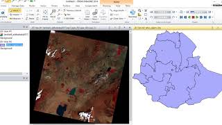
Pan-sharpening in ERDAS using Landsat 8OLI
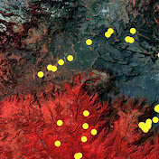
Band 2 to Band 7 were layer stacked and used as low spatial resolution multispectral image (30m) and Band 8 as a high spatial resolution image with 15m. The expected result is high resolution (15m) of the multispectral Landsat 8 images.


Recommended