YouTube magic that brings views, likes and suibscribers

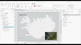
Performing Change Detection Using Raster Functions in ArcGIS Pro

Performing Change Detection Using Raster Functions in ArcGIS Pro:
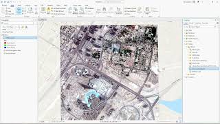
In this ArcGIS tutorial, we will perform a raster analysis to compare the mangrove extent between 2010 and 2020 for the same study area to see how the extent of mangrove forests has changed over time. Observing the change in mangrove forests displayed on the map helps identify where this tree species is expanding and where it is being lost. These results can help conservation managers to better understand how forests are impacted by natural and built environments.


Recommended