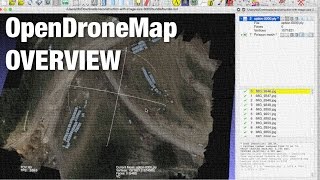
Pix4D QGIS u0026 GDAL Library for Manually Georeferencing Aerial Mosaics u0026 Google Map Tiling
All photos from this tutorial were taken with my Canon SX260:
http://amzn.to/1zRy7v1
mounted in my FX79 flying wing:
http://www.valuehobby.com/fx79buffa...
I wanted to share this because it's the process I've been using to convert my nongeoreferenced aerial mosaics into something I can load into Google Maps. There are some times where I haven't been able to get GPS information from my photos and this process has come in handy.
It makes use of the following free tools:
http://www.qgis.org/
https://plugins.qgis.org/plugins/open...
http://docs.qgis.org/1.8/en/docs/user...
http://www.gdal.org/
As I mentioned in the video this is something you can do with images not only from Pix4D, but from other sources.
Here are the commands I used to convert the image from GeoTiff to png using the gdal tools:
gdalwarp srcnodata 0 transparent_caliterra_102614_pix4d_mosaic_group1_georeferenced.tif transparent_caliterra_102614_pix4d_mosaic_group1_georeferenced.png
and here's what I used to create the map tiles from the png file:
gdal2tiles.py z 1520 s_srs EPSG:3857 k transparent_caliterra_102614_pix4d_mosaic_group1_georeferenced.png
If you have any questions or comments please share them below.
Thanks for watching!