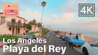
Playa del Rey Beach California 2022. 30-Minute 4k relaxing shoreline walk to McGurk Beach Jetty.
This is a short 30minute beach walk complete with all the sights and sounds of a windy day at the ocean. Perfect to put on for meditation, relaxing, or just pleasant sights and sounds in the background. Walk is along the shoreline with crashing surf, birds, waves and wind. Enjoy!
GPS coordinates of Playa Del Rey beach:
33.95325726854854, 118.44894481654902
Additional info on Playa Del Rey Beach:
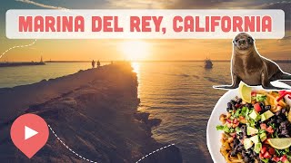
Marina del Rey’s southern neighbor, Playa del Rey is a small, quiet community with a broad, lowkey beach and a smattering of cafes, taverns, and boutiques nearby. The stretch of sand is technically part of Dockweiler State Beach, but this section is comparatively sleepy, perfect for those days when you want nothing but the sound of crashing waves to lull you into a midday nap in the sunshine. Playa del Rey is easily accessible from the Marina via the Marvin Braude Coastal Bike Trail.
Playa Del Rey Beach is the wide sandy beach in front of the Playa Del Rey neighborhood of Los Angeles. The beach is northwest of LAX Airport on state land at the north end of Dockweiler State Beach and south of the Marina Del Rey Harbor entrance. This beach like the rest of Dockweiler State Beach is operated by Los Angeles County not the state. Playa Del Rey Beach offers volleyball courts, a long paved bike path, and a grass park across the street that has a kids playground and basketball courts. Locals call the north end of Playa Del Rey Beach “Toes Beach” for hanging ten (toes) on a surfboard.
The best public parking is near Del Rey Lagoon Park on Pacific Avenue where a parking lot and street spots are available. Another public lot is located at the north end of Pacific Avenue