Secret sauce that brings YouTube followers, views, likes

Plotting Dip and Strike Readings with ArcGIS

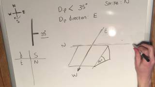
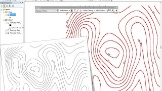
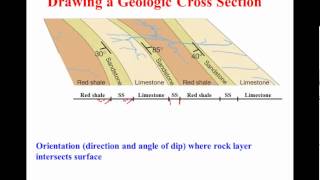
Dip and strike readings are simple but important geological measurements which can be used for structural and stratigraphic analysis. They are generally made by a field geologist directly at a geological outcrop. This video shows how you can plot them on a map, using ArcGIS.
For a full blog on the subject see:
http://www.exprodat.com/Blogs/blog_Pl...


Recommended