Easy way to get 15 free YouTube views, likes and subscribers

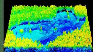
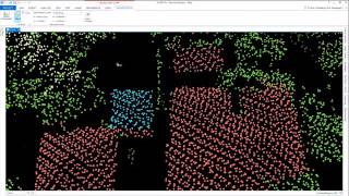
Point Cloud (LIDAR) Processing Demonstration

In this demo, see how to view point clouds (LIDAR) data in 2D and 3D, add pyramid and spatial indices to multiple files through batch processing. Also view how to merge .las files, create a subset area of interest, and then classify, filter and RGB encode the point cloud data.


Recommended