Secret sauce that brings YouTube followers, views, likes

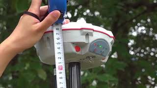
Precision and Accuracy in Geodetic Surveying
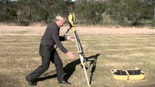
This brief video, produced in collaboration between NOAA’s National Geodetic Survey and The COMET Program, is aimed at surveying professionals, planners, policymakers and others who use mapping products. The video emphasizes that survey measurements need to be precise as well as verified as accurate by relating measurements to a known reference system such as the National Spatial Reference System in the United States.
For more information on geodetic datums, visit http://www.geodesy.noaa.gov/.
For more information and a gallery of reusable resources from this video see https://www.meted.ucar.edu/training_m...
See COMET's MetEd website for hundreds of other geoscience training resources: http://www.meted.ucar.edu.


Recommended